
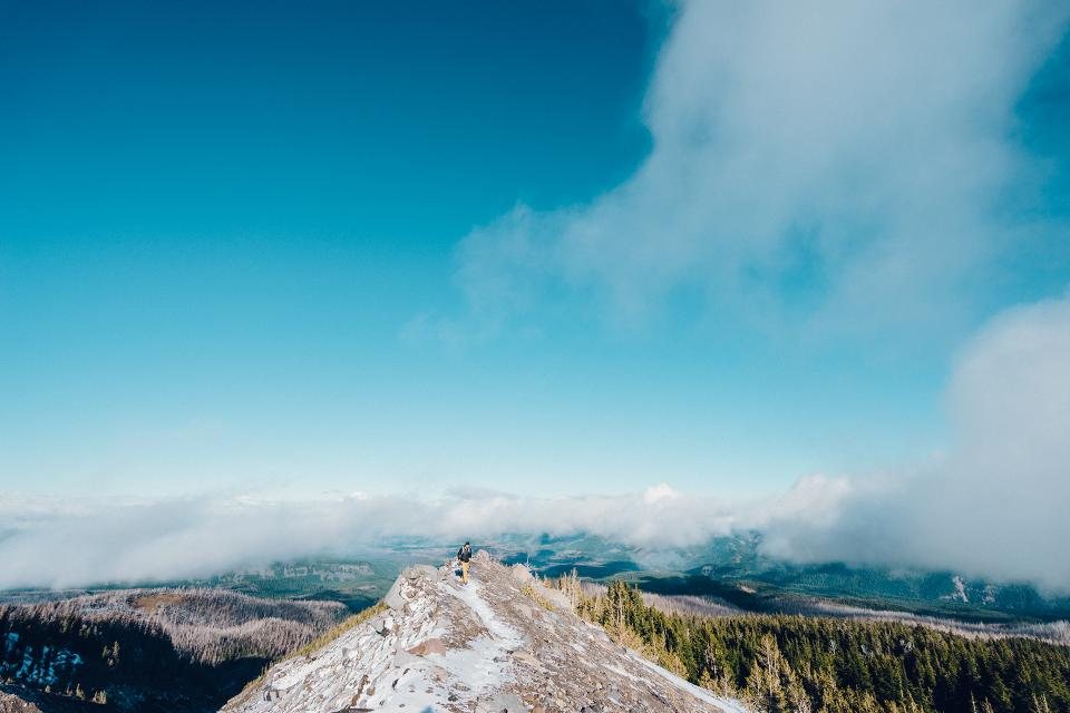
South America has two kinds of trail that can lose you in very different ways. On the eastern slopes of the Andes, where the range drops toward the Amazon, cloud forest between about 1,500 and 3,500 m swallows paths in bamboo and moss, and the sky is a rumour. High above it, the puna and the paramo, the treeless grasslands between 3,800 and 4,800 m, offer views to the horizon and a dozen paths in every direction, most of them made by llamas, cattle and sheep. The first terrain hides the route; the second multiplies it. Both are crossed comfortably with the same habits, and the habits matter more than the hardware.
Maps: what exists and what to expect
The national geographic institutes of Peru, Bolivia, Chile and Argentina all publish topographic sheets at 1:50,000 or 1:100,000, and they are the base for almost everything else. Contours and rivers are generally accurate; trails and place names often are not, because the surveys are decades old and paths move. For the Cordillera Blanca and the Huayhuash there are excellent 1:100,000 trekking sheets produced by a European alpine club that show the routes as they are actually walked. Torres del Paine and the Fitz Roy area have commercial trekking maps sold in Puerto Natales and El Chalten. For Ecuador and Colombia, and for most of Bolivia, the best current trail data is the open-source mapping that walkers have contributed over the last decade, downloaded to a phone before you leave the towns.
Whatever you carry, carry it printed too. Phones die in the cold, and a paper sheet with the route highlighted, the passes and camps marked and the magnetic declination noted in the margin is what you will be reading when the rain comes. Declination varies widely across the continent, from a few degrees in coastal Peru to well over ten degrees in the far south, so check the current value for your area and set it on the compass before the trek.
GPS tracks: trust but verify
A downloaded track is the single most useful navigation aid on a South American trek, and also the most misleading. Tracks are recorded by one person, in one season, sometimes with a poor signal in a gorge and sometimes by someone who was lost at the time. Before you rely on a track, look at it on the map. Does it cross rivers where there are bridges? Does it stay on the sensible side of a valley? Does it climb a pass at a col rather than a cliff? A track that wanders in circles on the puna was recorded by someone hunting for the path, and you will do the same if you follow it blindly.
Carry two independent sources: the phone with the track and the map, plus a small dedicated GPS receiver or a second phone in a companion’s pack. Set the recorder to log your own route, so that retreating is a matter of following the breadcrumb. In cloud forest the canopy degrades the signal and the position can jump by 50 m or more; treat the dot as a suggestion and the compass as the fact. Keep the phone in flight mode and warm against your body, and the battery will last a week of daily checks.
Cloud forest: the art of the handrail
Below the treeline on the eastern slopes, the problems are visibility, junctions and vegetation. The route from the Salkantay pass down toward the Santa Teresa valley, the descent from Choquequirao, and the muddy trails of the Colombian cordilleras all pass through forest where you cannot see the next ridge, let alone the next valley. Navigate on features you can touch: the river you are following, the ridge crest, the line of a disused aqueduct. Before each junction, decide from the map which way the correct branch should trend, uphill or down, left of the stream or right, and confirm it within a hundred metres. If the path becomes a tunnel of bamboo with no cut branches and no footprints, it is an animal trail; go back to the last junction rather than pushing on.
Time and distance are your friends here. With a 15 kg pack on a muddy trail you will make around 2 to 3 km an hour and climb perhaps 300 m in that hour. If the map says the next hut is two hours away and you have been walking for four, you are not on the map.
Puna and paramo: too many paths, no shelter
High grassland is a different puzzle. The route is visible for kilometres, then the mist comes down and every direction looks the same, and the braided livestock tracks that were a convenience become a trap. The classic errors are following a good path that leads to a herder’s hut rather than the pass, and drifting down the wrong side of a broad, flat col. Apachetas, the stone cairns that mark passes throughout the Andes, are reliable at the col itself and unreliable anywhere else; a cairn on open ground may mark a route, a boundary, a grave or nothing at all.
In clear weather, take bearings on the pass and on catching features behind it while you can still see them. In cloud, walk on a compass bearing, use aiming-off toward a river or a lake shore that you cannot miss, and count paces or minutes between checks. Whiteout with snow on the high passes of the Huayhuash and the Cordillera Real is a real possibility even in the dry season, and a bearing taken the evening before from camp has saved us more than once.
Habits that keep the group together
Navigation on a long trek is a routine, not an event. Check the map at every rest stop and at every junction, name aloud where you think you are, and note the time. Agree in advance who carries the map and who carries the compass, and make sure both can use them. Keep the group within sight in cloud forest and within shouting distance on the puna, and re-gather at every junction. When something does not fit, stop before going further; almost every serious loss of route we have seen came from a decision to keep walking in the hope that the trail would reappear. It rarely does, and the map, read slowly on a rock in the mist, is usually right.