
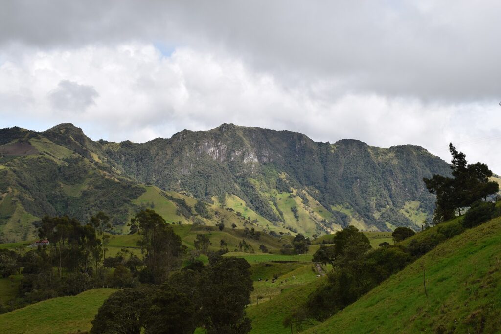
Andean Mountains: How the Range Is Built and What It Means for Trekking
Before you choose a trail, it helps to understand the structure underneath it. The Andes are not a single wall of rock but a long system … Read more
Before you choose a trail, it helps to understand the structure underneath it. The Andes are not a single wall of rock but a long system … Read more
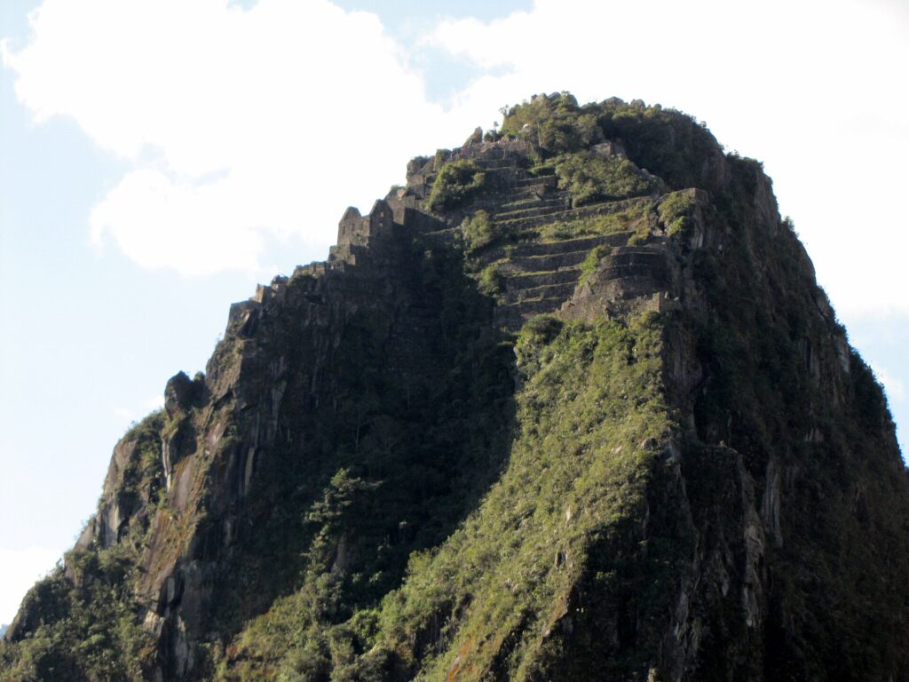
The ascent is short but steep, access is controlled by a separate ticket, and the details of that ticket decide whether you get a place at … Read more

The Carretera Austral is a 1,240 km road, most of it gravel, that threads the fjords, rainforest and ice of Chile’s Aysen region from Puerto Montt … Read more
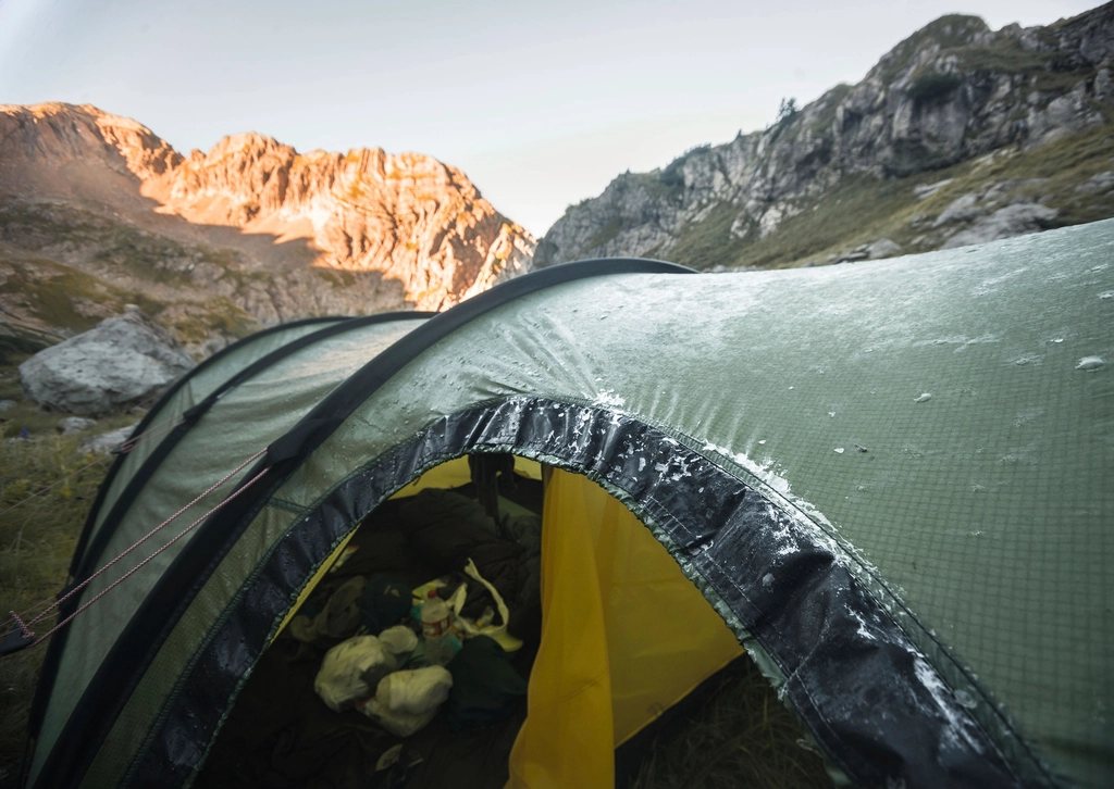
Nothing about camp cooking is difficult until you try it at 4,600 m with a stove that will not light, a pot of rice that refuses … Read more
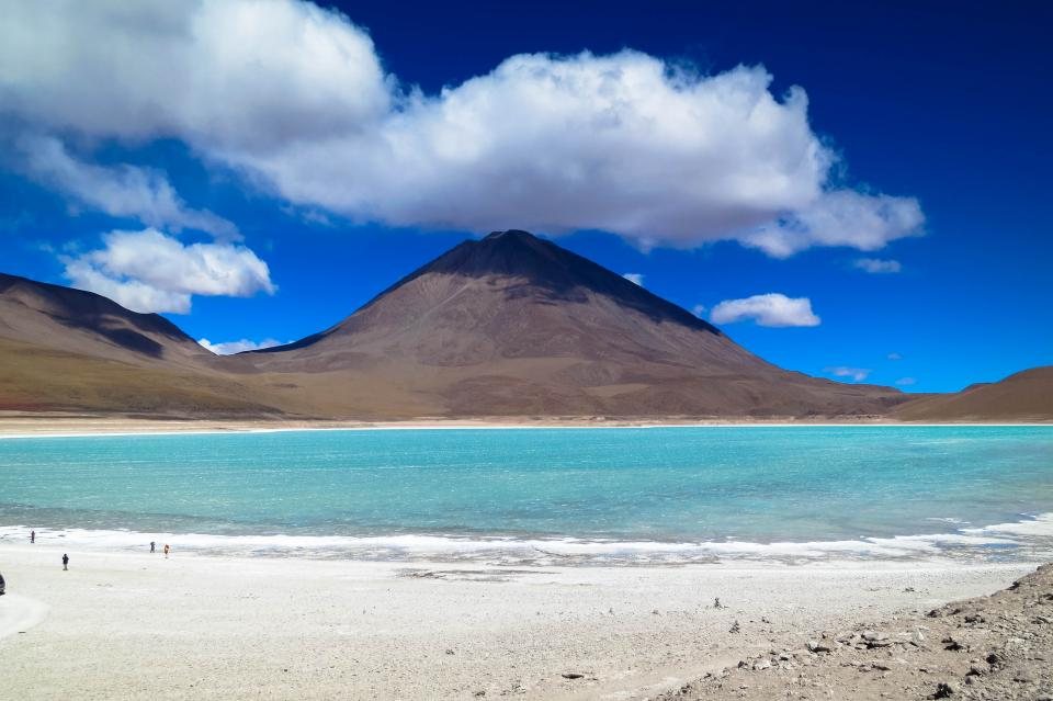
The Cordillera Real runs for about 125 km along the eastern edge of the Altiplano, a single line of glaciated peaks that begins near Lake Titicaca … Read more
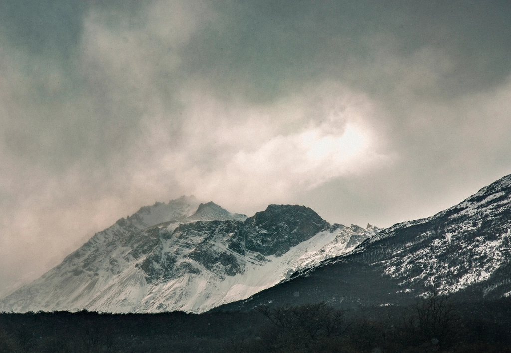
South of the Strait of Magellan the Andes make one last turn, bend east and sink into the sea. This is Tierra del Fuego, an island … Read more
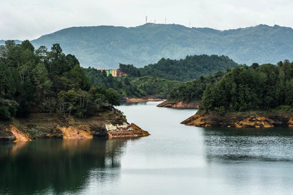
Colombia was off the trekking map for a generation, and it shows in the best possible way: the trails are uncrowded, the villages are glad to … Read more
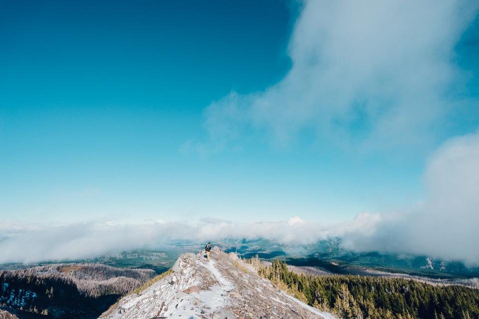
South America has two kinds of trail that can lose you in very different ways. On the eastern slopes of the Andes, where the range drops … Read more
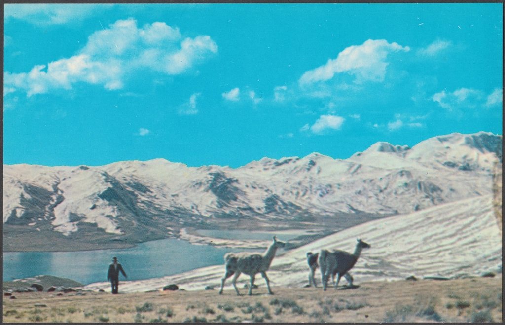
Huaraz sits at 3,050 m in a broad valley with the ice of the Cordillera Blanca filling one horizon and the dry ridges of the Cordillera … Read more
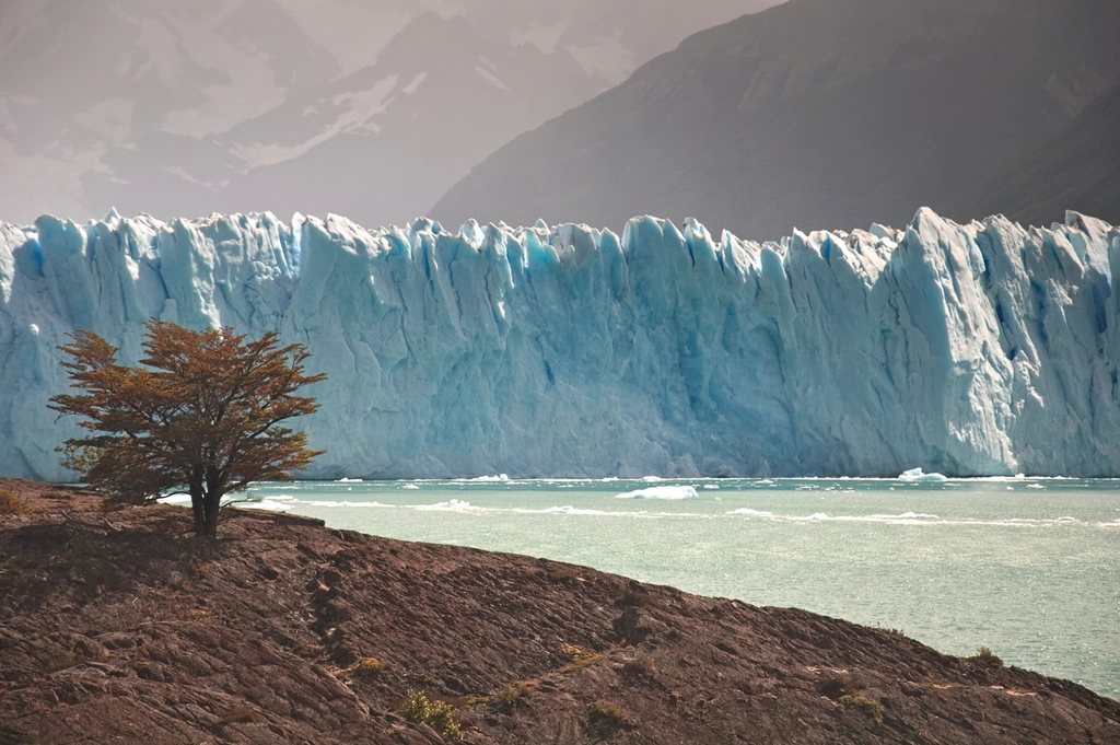
Perito Moreno is the glacier that most people in the world have seen a photograph of, usually at the moment a slab of ice the size … Read more