
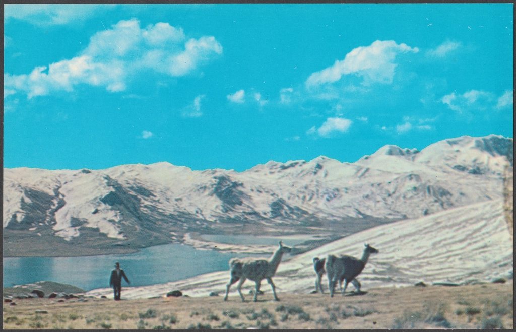
Huaraz sits at 3,050 m in a broad valley with the ice of the Cordillera Blanca filling one horizon and the dry ridges of the Cordillera Negra the other. The Blanca is the highest tropical mountain range in the world, with Huascaran at 6,768 m as its summit and more than thirty other peaks above 6,000 m, and it is unusually accessible: paved roads and rough tracks lead into a dozen valleys, so a walker based in town can reach glacial lakes at 4,600 m on a day trip. This is our guide to the three outings most people come for, and to doing them in the right order.
First, acclimatise on purpose
The mistake we see most often in Huaraz is treating the town as the acclimatisation and going straight to Laguna 69. Arriving from Lima at sea level, two nights at 3,050 m are the bare minimum before any walk above 4,000 m, and a short warm-up hike on the first full day makes the rest of the week far more pleasant. Laguna Wilcacocha, on the Cordillera Negra side at about 3,700 m, is a two hour round trip from the valley road with a full-width view of the Blanca and no ice to worry about. Laguna Churup at 4,450 m, a steep half-day from the village of Pitec, is the classic second step and includes a short scramble with fixed cables near the top. After those two, the higher lakes are earned rather than survived.
Laguna 69
The most famous day hike in the range starts at Cebollapampa, a meadow at about 3,900 m at the head of the Llanganuco valley, some three hours by road from Huaraz past the two Llanganuco lakes. The trail is 7 km each way with roughly 700 m of ascent to the lake at 4,604 m, sitting in a bowl beneath the near-vertical south face of Chacraraju (6,112 m). Most walkers take two and a half to three hours up and two hours down. The first section is flat through cattle pasture, the middle climbs a long set of switchbacks past a waterfall to a smaller lake, and the final hour crosses a rocky shelf to the shore. The water is a chemical-looking blue that no photograph fully prepares you for. Because the trailhead is inside Huascaran National Park, an entry fee is collected at the gate; the daily ticket covers this walk, and multi-day tickets exist for longer stays. Set out early: cloud usually covers the peaks by early afternoon, and the descent in rain on the switchbacks is unpleasant.
Laguna Paron
Paron is the largest lake in the Cordillera Blanca and the easiest of the three to visit. A 32 km dirt road climbs from the town of Caraz, 65 km north of Huaraz, to the lake shore at 4,185 m in about two hours, and the walk from the car park is optional. Even so, we recommend the 30 to 45 minute climb to the viewpoint on the rocky spur above the northern shore, at roughly 4,300 m, from which the lake stretches 3 km towards the base of Artesonraju at 6,025 m, a pyramid so symmetrical it has become the archetype of a mountain. A flat path follows the northern shore to the moraines at the far end for anyone wanting two or three more hours. The lake is dammed and regulated for irrigation and hydropower, so its level varies through the year; it is fullest, and most photogenic, from the end of the wet season through to about July. Paron makes a fine acclimatisation outing before Laguna 69, since it reaches similar height with far less effort.
The Santa Cruz trek
For a multi-day introduction to the Blanca, the Santa Cruz trek is the obvious choice: about 50 km over three or four days, one pass, and camps in valleys rather than on exposed pampas. The traditional direction starts at Vaqueria (3,700 m), reached over the Portachuelo de Llanganuco road pass at 4,767 m, descends through farms to the Huaripampa valley, climbs to camp at Paria (3,850 m) and then crosses Punta Union at 4,750 m on the second or third day. The pass is a narrow notch in a rock wall with the turquoise lake of Taullicocha below and the ice of Taulliraju above. From there the trail drops to the meadow camp at Taullipampa (4,250 m) and follows the Santa Cruz valley down past two lakes to the road at Cashapampa at 2,900 m. Walking the other way, from Cashapampa upwards, is steeper but gives a gentler altitude curve. The best side trip leaves from Taullipampa and climbs to the Alpamayo base camp area near 4,300 m, with a view of the famous north face across a glacial lake. The trail is inside the national park, so the multi-day ticket applies, and the route is well enough marked to walk independently with a map; mules can be hired at either road head.
Seasons and a sensible week
May to September is the dry season, with June to August the most reliable for clear mornings and the coldest at night; Taullipampa regularly drops below minus 5 degrees. April and October are quieter and still workable. From December to March afternoon rain and snow on the passes make the higher lakes a gamble and the Santa Cruz trek a muddy one. A good first week from Huaraz runs like this:
- Days one and two: arrive, rest, and walk to Laguna Wilcacocha.
- Day three: Laguna Churup, or Laguna Paron for a gentler option.
- Day four: Laguna 69.
- Day five: rest and shop for the trek.
- Days six to nine: the Santa Cruz trek, with the Alpamayo side trip if the weather holds.
The Cordillera Blanca is a range where the day walks are as memorable as the treks, and where the difference between a wonderful week and a miserable one is almost always the first two days. Go slowly at the start, and the mountains will do the rest.
Read next: Huayna Picchu Mountain: Booking the Ticket, Climbing the Steps and What to Expect