
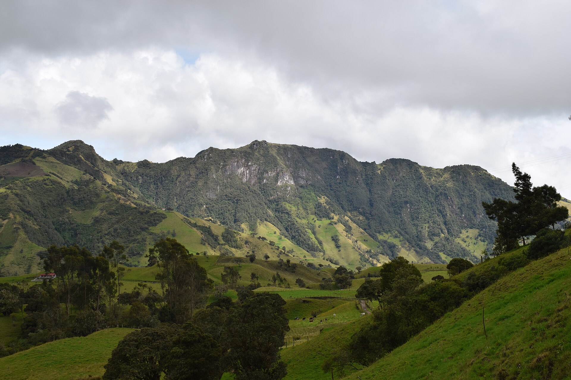
Before you choose a trail, it helps to understand the structure underneath it. The Andes are not a single wall of rock but a long system of ranges, plateaus and valleys, and that structure explains much of what you meet on the ground.
- The range runs along the western edge of South America through seven countries.
- It is organised into parallel ranges and high basins, and into three climate-based divisions.
- Elevation and latitude, more than the calendar, decide what a given trail feels like.
What exactly are the Andes?
The Andes form the longest continental mountain system in the world, a continuous highland along the western edge of South America. Depending on how the ends are measured, published figures for the length differ: one gives roughly 7,000 km, another 8,900 km. What matters for you is the order of magnitude, a chain so long that it crosses seven countries: Argentina, Chile, Bolivia, Peru, Ecuador, Colombia and Venezuela.
The width varies a great deal, from about 200 km to about 700 km. The broadest stretch lies between roughly 18°S and 20°S, and that is where the high plateau sits. The average height is around 4,000 m, which is worth keeping in mind: in much of the range, even the valleys and passes are at an altitude where your body has to adapt.
The name itself is debated. Most often it is traced to the Quechua word anti, meaning east, while the word cordillera comes from the Spanish for rope, a fitting image for a mountain chain made of linked sections.
How is the range organised: cordilleras, plateaus and valleys?
Along its length the Andes split into several ranges, separated by intermediate depressions. It is better to picture parallel ridges with high basins and deep valleys between them than a single crest. This is why a trek can start in a cultivated valley, climb to a pass among glaciers, and drop into a different landscape within a few days.
Several high plateaus are home to major cities, among them La Paz, El Alto, Quito, Bogota and Sucre. The Altiplano is the world’s second highest plateau after the Tibetan one. The practical consequence is that you can arrive by road or air already at significant elevation, and you should treat the first days as acclimatisation rather than as a warm-up you can rush.
The Andes are also divided by latitude, which is a convenient way to think about trekking regions:
- Central Andes: Bolivia and Peru.
- Northern Andes: Colombia, Ecuador and Venezuela, split into three branches.
These three sections do not match the climate divisions exactly, so keep the two ideas separate.
How high do the Andean mountains get?
The Andes are the highest mountain range outside Asia. The top is Aconcagua in Argentina, at about 6,961 m. Other peaks illustrate the scale: Huascaran in Peru reaches 6,768 m and Illimani in Bolivia 6,438 m. Many of the great summits are far above what any trek reaches, but they set the tone: glaciers, steep relief and thin air.
Chimborazo in Ecuador has a separate claim. Because the Earth bulges at the equator, its summit is farther from the planet’s centre than any other point on the surface, even though it is not the highest above sea level. It is a reminder that in the Andes, latitude changes the rules as much as altitude does.
The world’s highest volcanoes are here as well, including Ojos del Salado on the Chile and Argentina border at about 6,893 m. If your route passes a volcano, treat it as a living feature of the landscape and check local conditions before you go, not as a static backdrop.
Why does the same month feel so different from region to region?
A month that suits one is not automatically right for another, so it makes no sense to ask whether the Andes are good in a given month without naming where.
Within each section, the mountains themselves create contrasts. The rise of the range produced a rain shadow on the western side in Chile, so the weather you meet depends on which side of the ridge you stand on and which way the prevailing winds blow. On the eastern slopes you find humid cloud forest, while the Altiplano is arid and the southern summits are glaciated.
The practical rule is to plan by region and by slope, then check the seasonal pattern for that specific area. The guide on when to trek in South America goes region by region, and this article is the reason that approach is necessary.
What does the Tropical Andes section look like on foot?
The Tropical Andes make up the northern of the three climate divisions. They run mainly through five countries: Venezuela, Colombia, Ecuador, Peru and Bolivia. They cover a large area, and the landscape reflects it, from snow-topped mountains down to canyons and valleys.
Vegetation changes in bands as you climb, and this is useful to read as you walk:
- Tropical rainforest at roughly 500 to 1,500 m.
- Cloud forest from about 800 to 3,500 m.
- Grassland rising to snow at about 3,000 to 4,800 m.
In practice this means a single trek can take you through several ecosystems, and that the lower, wetter sections are muddier and slower than the high grassland.
The region also holds extraordinary landmarks. Lake Titicaca, at about 3,810 m, is described as the highest navigable water, and Peru has a very deep gorge among its canyons. The Tropical Andes are also recognised as a biodiversity hotspot, which is one more reason to stay on marked paths and carry out your waste.
Why do the Andes shake and smoke?
The Andes belong to the Pacific Ring of Fire. They exist because oceanic crust, the Nazca Plate, is pushed beneath the South American Plate, and this contraction is the main cause of the range rising. That process is ongoing, which is why the chain contains active volcanoes and why seismic and volcanic activity is part of the background of trekking here.
For you this does not mean avoiding the region. It means a few habits:
- Check local advisories for any volcano near your route, especially in Ecuador and Colombia where trekking and volcanoes often overlap.
- Avoid camping in valleys directly below unstable slopes or in the path of potential flows.
- Follow the guidance of park authorities and local guides if access is restricted.
The same geology that raises the peaks is what makes the scenery so dramatic, so a little caution goes with the territory.
Frequently asked questions
How long are the Andes?
Sources give roughly 7,000 km to 8,900 km, depending on how the range is measured. In either case it is the longest continental mountain system in the world, running through seven countries along the western edge of South America.
What is the highest peak in the Andes?
Aconcagua in Argentina, at about 6,961 m. It is the highest mountain outside Asia. Chimborazo in Ecuador is a separate case: it is not the highest above sea level, but its summit is the farthest point on Earth’s surface from the planet’s centre.
Are the Andes active volcanically?
Yes. The range lies on the Pacific Ring of Fire, formed where the Nazca Plate is subducted beneath the South American Plate. The world’s highest volcanoes are in the Andes, so check local conditions near any volcano on your route.
Which countries do the Andes cross?
Seven: Argentina, Chile, Bolivia, Peru, Ecuador, Colombia and Venezuela. The range is usually split into Southern, Central and Northern sections, and also into three climate-based divisions.
Related reading
- The Huayhuash Circuit: Ten Days Above 4,000 m in Peru’s Fiercest Range
- Bolivia’s Cordillera Real: Condoriri, Huayna Potosi Base Camp and the Choro Trail
Sources
- Tropical Andes (en.wikipedia.org, accessed 2026-11-09)
- Andes — Wikipédia (en.wikipedia.org, accessed 2026-11-09)
Photo: Andes mountains in Murillo (Montañas de los Andes en Murillo), by SergiXCX, CC BY-SA 4.0 (Wikimedia Commons)