
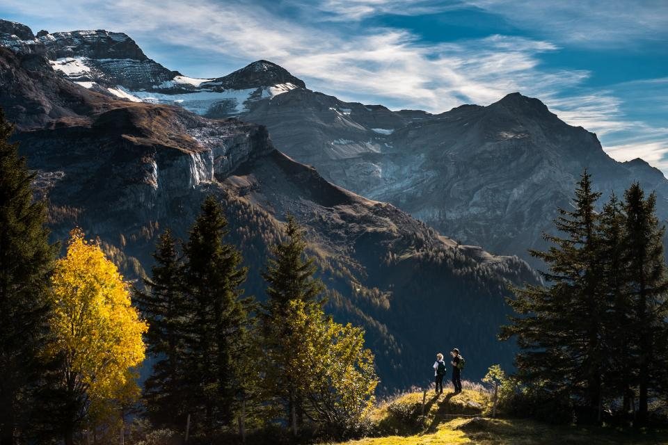
The Cordillera Huayhuash is a small range with an outsized reputation. Barely 30 km long, it packs six summits above 6,000 m into a compact wall of ice, among them Yerupaja at 6,635 m, the second highest mountain in Peru, and Siula Grande at 6,344 m, the setting of a famous 1985 survival story. The trek that loops around this wall is often called the finest in South America, and unusually the claim survives contact with the trail. It also demands more of a walker than almost any other classic route on the continent, because for eight to twelve days you never come down.
What the circuit involves
The full loop covers roughly 120 to 130 km and crosses eight or nine passes between 4,600 m and 5,000 m. The usual start is the village of Llamac at 3,300 m, or the road head at Cuartelhuain at about 4,170 m, both reached by a long drive from Huaraz through Chiquian. From Cuartelhuain the trail crosses Cacananpunta (4,690 m) on the first morning and from there the camps run: Mitucocha near 4,270 m, Carhuacocha at 4,138 m beneath the east faces of Yerupaja and Siula, then over the Siula pass at about 4,830 m to Huayhuash camp at 4,350 m, across the Portachuelo (4,750 m) to the hot springs at Viconga at 4,400 m, up Punta Cuyoc at close to 5,000 m, down to Huayllapa at 3,500 m for the only real descent of the trip, and back up over Punta Tapush (4,800 m) and Yaucha pass (4,800 m) to the lake at Jahuacocha at 4,050 m, before a final pass at Pampa Llamac (4,300 m) and the long drop to Llamac. Ten days is the comfortable rhythm; eight is fast; twelve allows for side trips and weather.
Living at altitude for ten days
The Huayhuash is less about a single high pass than about accumulated exposure. Every camp except Huayllapa is above 4,000 m and several are above 4,300 m, so sleep is shallow, appetite fades and recovery from a hard day is slow. Acclimatisation before the trek is therefore not a formality. We treat four to five nights in Huaraz (3,050 m) with two day walks to 4,500 m as the minimum, and a week is better. On the circuit itself the profile helps a little, because the first days are lower and the highest passes come after most of a week of adaptation. Still, altitude illness can appear at any point, and the only descents are long: from most camps the nearest road is a full day away and more than 1,000 m below. Carrying a pulse oximeter and knowing the warning signs of fluid on the lungs or in the brain is sensible on a route this remote.
The passes that matter
Two crossings shape the reputation of the loop. The Siula pass, between Carhuacocha and Huayhuash camp, is preceded by a climb along the three lakes beneath Siula Grande, with a viewpoint that many consider the finest single panorama in the Andes: three turquoise basins stacked below hanging glaciers. The second is Punta Cuyoc, the high point of the standard route at roughly 5,000 m, on a bare scree crest with views to the west face of Siula Grande. Strong parties sometimes replace it with the San Antonio pass at about 5,020 m, which is steeper, looser and closer to the ice. Both are cold, both are windy and both should be crossed before the afternoon cloud builds. The lesser passes, Carhuac, the Portachuelo, Tapush and Yaucha, are gentler in gradient but no lower in effect, and each one costs a morning.
Cold, weather and the season
The trekking season runs from May to September, with June to August the driest and coldest. Nights at Carhuacocha or Jahuacocha drop to minus 10 degrees or lower, frost forms inside the tent and the lakes freeze at their edges. Days are usually clear until early afternoon, after which cloud gathers on the peaks and short snow or hail showers are common on the passes. A sleeping bag rated to at least minus 15 degrees, a four-season tent that shrugs off wind and a full set of insulating layers are essential. The shoulder months of April and October are feasible with more rain; from November to March the trail is largely deserted, the passes hold snow and river crossings become serious.
Communities, fees and self-sufficiency
The loop passes through land managed by several highland communities, each of which collects a fee for trail maintenance, camp facilities and security. Expect to pay at five or more checkpoints, always in cash and always in small notes, with the total forming a meaningful part of the trip budget. In return the communities maintain camps with basic toilets, some with a guardian, and in a couple of places sell eggs, potatoes and drinks. There are no shops on the route otherwise and no reliable resupply, so all food for the full duration comes in on your back or on mules hired in Llamac or Pocpa. Water is plentiful and cold, and should be treated everywhere below the glaciers because of grazing.
- Four to seven nights of acclimatisation with day hikes to 4,500 m before starting.
- Food for the planned days plus two spare, and a stove that handles cold and altitude.
- Sleeping bag to minus 15 degrees, insulated mat, four-season tent.
- Cash for five or more community fees, mule hire and the occasional egg.
- Maps or a GPS track: the passes are cairned, but fog does not read cairns.
The Huayhuash rewards patience and punishes haste. Give it ten days, arrive acclimatised, and the reward is a fortnight of the most concentrated mountain scenery in the Andes: glaciers calving into lakes the colour of turquoise, condors on the passes, and the sense, rarer every year, of a range that is still bigger than the people who walk around it.