
Ausangate is the mountain Cusco looks to. At 6,384 m it is the highest peak in the region, a sacred summit in Andean tradition and the anchor of a trekking circuit that never drops below 4,000 m. Since 2016 the same massif has also hosted one of the most visited day hikes in South America, the striped hillside known as Rainbow Mountain. The two experiences share a road, a range and a problem: they are cold, high and easy to underestimate. Here is how we think about them together.
The circuit in numbers
The classic loop starts and ends in the village of Tinki at about 3,800 m, roughly 100 km south-east of Cusco and three to four hours away by road. Depending on the variant it covers 65 to 75 km over four to six days and crosses three named passes. Arapa pass sits at about 4,850 m, Palomani pass at around 5,200 m and Campa pass at just over 5,000 m. Camps are pitched between 4,300 m and 4,800 m beside glacial lakes, of which Ausangatecocha, directly beneath the south face, is the most striking. Most walkers go anticlockwise, using the hot springs at Upis on the first evening and finishing through the springs at Pacchanta, where a warm pool at 4,300 m is a fine reward for five days of frozen boots.
Altitude, without shortcuts
On the Ausangate circuit there is no gentle start. The first camp is already above 4,300 m and the first pass comes on day two. Anyone arriving from sea level needs a minimum of three nights in Cusco (3,400 m) beforehand, and a week is better. Two elements make this route more serious than the trails around Machu Picchu. The passes above 5,000 m carry roughly half the oxygen of sea level, and the circuit never descends into a valley where a struggling walker can recover overnight. If altitude sickness develops, the only real treatment is to leave the loop, usually by walking or riding a horse out to the road at Tinki or Pacchanta, which may be a day away. Slow pace, two to three litres of water a day, no alcohol and an honest response to symptoms are the whole of the strategy.
Cold is the defining condition
The dry season, May to September, brings brilliant skies and brutal nights. At 4,700 m in June and July, tents routinely see minus 10 to minus 15 degrees before dawn, water bottles freeze solid and the inside of the fly is a sheet of frost. Days are warm in the sun and instantly cold in shade or wind. We treat a minus 15 degree sleeping bag as the minimum, add an insulated mat with a high warmth rating, and keep a down jacket, thick hat and liner gloves accessible at every rest stop. Sun protection matters just as much: at this altitude the ultraviolet load is extreme, and a cloudy day burns as badly as a clear one.
Weather on the passes changes fast. Afternoon snow showers are common even in the dry season, and in the wet season from December to March the loop is a serious undertaking with deep mud on the lower sections and poor visibility on the high ground. The circuit is best walked from late April to early November.
The Rainbow Mountain question
Vinicunca, the original Rainbow Mountain, tops out at about 5,036 m. The colours come from layers of iron, copper and sulphur compounds in sedimentary rock that lay under snow and ice until the cover retreated in recent decades. From the road head on the Cusipata side at roughly 4,600 m, the walk to the viewpoint is 3 to 4 km one way with around 400 m of climb. On paper that is a short morning. In practice it is a rapid ascent to 5,000 m by people who often arrived in Cusco the previous day, starting at dawn after a three hour drive, and the effect shows: headaches, nausea and a steady line of walkers hiring horses for the last kilometre.
Our honest assessment is this. Rainbow Mountain is a genuine and remarkable place, but as a day trip from Cusco it is the least well acclimatised 5,000 m most visitors will ever attempt. The sensible ways to do it are either after several days at altitude, or as the final day of the Ausangate circuit, where the trail approaches from the back of the massif and you arrive already adapted. Neighbouring Palccoyo, at about 4,900 m with three striped hills and a far gentler walk, is a better choice for anyone short on time or feeling the height.
Practicalities and community fees
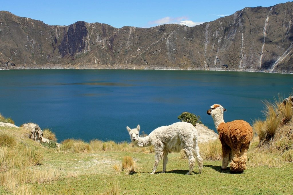
The circuit crosses land belonging to several highland communities that maintain trails, campsites and the hot springs. Each charges a modest fee, payable in cash on the spot, and Rainbow Mountain has its own entry ticket at the road head. Horses and local muleteers can be hired in Tinki, Upis or Pacchanta, which is worth considering since carrying camping gear above 4,500 m doubles the difficulty. There are no shops on the loop, so all food comes in with you. Water is abundant from streams and lakes but should be treated: the pastures host thousands of alpacas.
- Minimum three nights, ideally five to seven, at 3,400 m or higher before the first camp.
- Sleeping bag to minus 15 degrees, insulated mat, down jacket, warm hat and gloves.
- Sunscreen, glacier-grade sunglasses and lip protection for every hour outside.
- All food for the circuit plus one spare day, and a stove that works well in cold and thin air.
- Cash for community fees, springs and horse hire.
Walked with patience, the Ausangate circuit is one of the great high treks of the Andes: glaciers close enough to touch, herders in red ponchos and a sacred mountain filling the sky from every camp. Rainbow Mountain is the postcard. The circuit is the reason to come.